Step 1
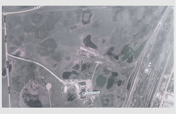
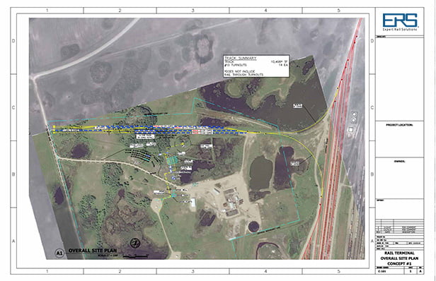
Start with Capturing a Google Earth or Aerial Drone Image
Step 2
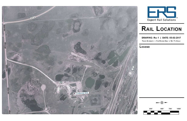
Inline and Scale the Google Earth / Aerial Drone Image into our Workflow
Step 3
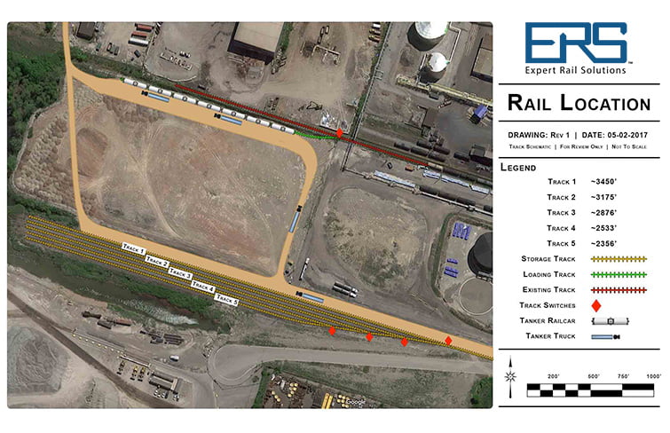
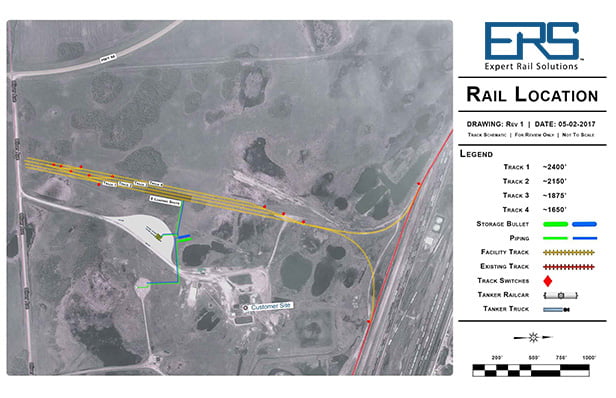
Design Rail Track and Terminal Infrastructure, Export High Resolution PDF for Review
Step 4
Upon Design Confirmation, Convert Drawing into Engineered AutoCAD Drawing
